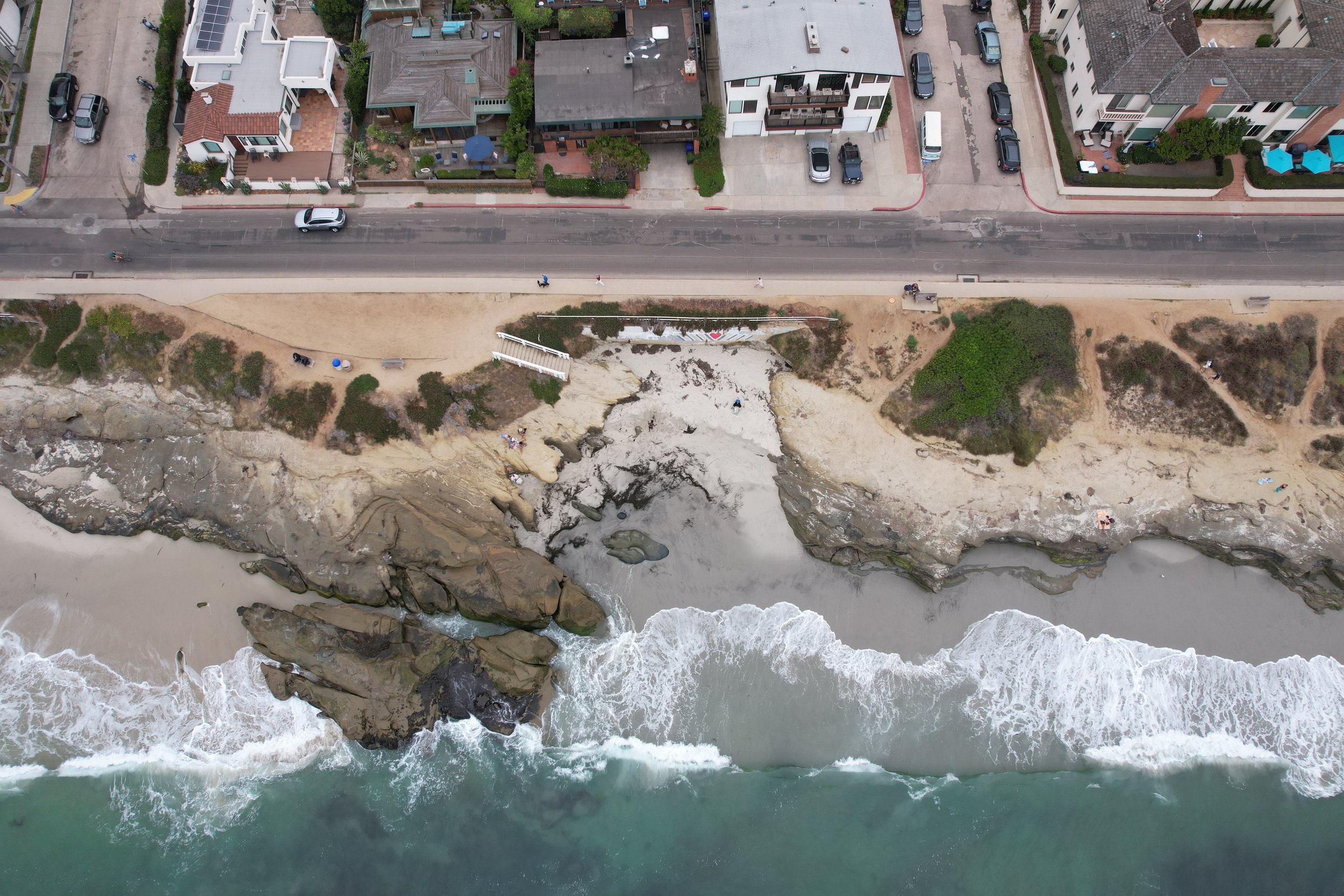
Site Reconnaissance
Do you need to collect accurate, clear, complete site data before submitting a project proposal or building a numerical model? Whether you need aerial imagery to analyze bluff setbacks or to create a topographic site map for subcontractors, I can save you time and money by covering large areas quickly and collecting complete datasets to avoid costly mistakes and repeat visits.

